Gallery: Ugford
Image Details
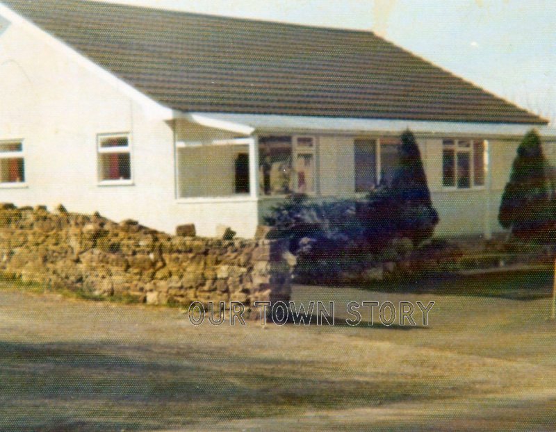
This bungalow used to be the transport Café in the 1950-1970's. In its early life it was set behind a 12 foot thatched chalk wall which ran from white building on the right to the footpath on the left and then ran all the way down the edge of the property now known as "Drivers Way" to the river.
This wall can be seen in this 1940's picture in this Google link: http://www.register-of-one-place-studies.org.uk/ugford.jpg
Ant then this link from the 1950's shows the same thatched wall but with the Café sign above it:
https://photos.francisfrith.com/frith/wilton-c1955_w166044_large.jpg
Hint: Drag the orange pegman to see the Streetview image...
This image appears in the galleries for the following locations:
Members do not see ads - sign up - it's free!


