About
Co-founder of Our Town Story. If you have any questions about the site, or wish to provide feedback, please visit the Admin forum and post in the appropriate place - we'll do our best to help you out as quickly as we can!
We really want Our Town Story to be an album for your old photos, to fill in the gaps in the history books of our villages, towns and cities. We would also love for those pictures to be able to help others - for instance by using reminiscence therapy in treating dementia .
We're still a work in progress, and we appreciate all suggestions and observations!
Profile Stats:
Members do not see ads
Gallery: Pick of the British Library

Image Details
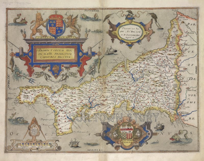
Image taken from Promontorium hoc Cornubia dicitur 1576. C. Saxton descripsit. L. Terwoort Antverpianus sculpsit. In: C. Saxton's Atlas of England and Wales.
Originally published: 1579.
Hint: Drag the orange pegman to see the Streetview image...
Members do not see ads - sign up - it's free!
